Mapillary Receives $8m to Take on Google Street View
- Thursday, March 3rd, 2016
- Share this article:

Open source mobile mapping firm Mapillary has announced a $8m (£5.75m) Series A funding round that the company hopes will help position its app as a genuine competitor to Google Street View, built around user-submitted photos.
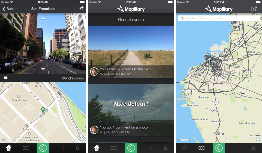
Mapillary is a mobile-first service that uses a community-based mapping photo app, enabling users around the world to upload images for use. Mapillary then uses machine vision technology to stitch the images together to create a smooth virtual representation of the world.
The user-submitted pictures can be used to reconstruct locations in 3D thanks to Mapillarys open-source structure from motion algorithm, and can be directly integrated into other mapping platforms.
Since launching in late 2013, Mapillary has already mapped almost 1m miles of road in over 170 countries with over 50m pictures, and has been chosen to help improve infrastructure by organisations around the world, including the World Bank in Tanzania, the Red Cross in Haiti and the Swedish city of Helsingborg. 

“Were connecting millions of photos taken by thousands of users around the world, allowing users to create maps of previously uncharted territories in an instant, and giving people the ability to map the places they care about,” said a Mapillary spokesperson. “We not only plan to fill in the blanks on existing maps, but to create our own complete representation of the earth to benefit governments, businesses, nonprofit organisations, and curious explorers alike.”
“Mapillary is making a new class of information accessible for everyone,” said a spokesperson from Atomico, one of the new investors. “Their work to accumulate and democratise images of the world is important to our global development – for how we understand our world and how we act on that understanding.”

Want more like
this to your inbox?
You might also be interested in