Apple Developing its own Street View?
- Tuesday, January 26th, 2016
- Share this article:

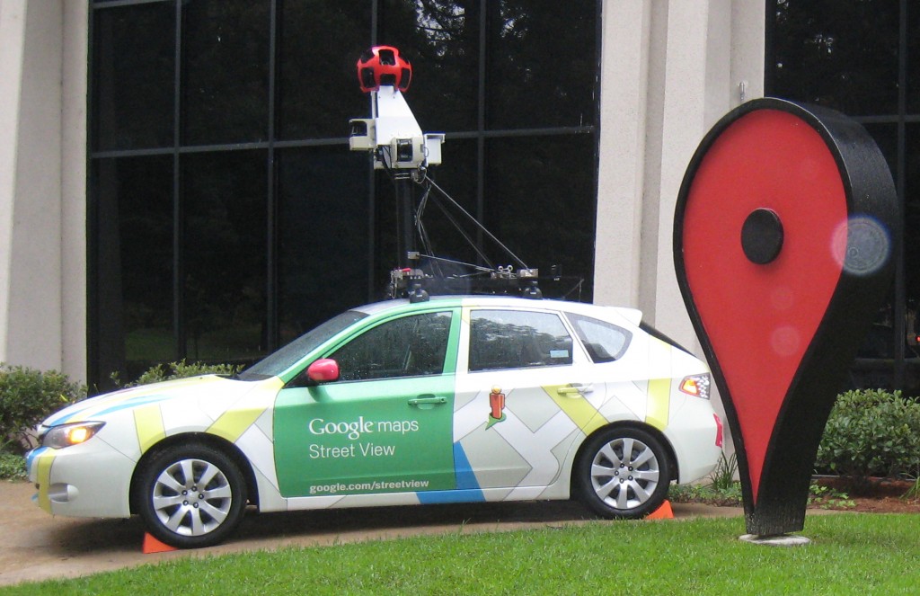
Apple appears to be working on its own version of Googles Street View mapping technology which offers users an interactive view of any street, with plans for Apple Maps vehicles that will collect data in the same manner as Googles iconic Street View cars.
The online documentation for Apple Maps, the companys own map offering, includes a section on Apple Maps vehicles which says that the company “will blur faces and license plates on collected images prior to publication”. This suggests a process similar to the way Google uses the images it constructs Street View with.
Apple Maps had a rocky start, with many criticising the apps accuracy and poor step-by-step directions when used to plan journeys. However, the app has improved its standing with customers over the years and is now more popular than Google Maps on the iPhone. 
Much of Apple Maps improvements have been based on existing features in Google Maps, such as public transport information. It makes sense that Apple would attempt to replicate the popularity of Street View on Apple Maps.
However, Apple could simply be working on expanding its flyover feature, which offers 3D versions of well-know buildings that can be explored, including the Empire State Building and the Houses of Parliament. The Apple Maps vehicles are currently scheduled to be active in London, Paris, New York and around California, so whatever they are being used for may soon become apparent.

Want more like
this to your inbox?
You might also be interested in